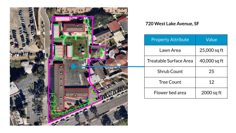
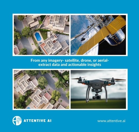
Attentive AI develops AI systems that analyze geospatial imagery and convert it into accurate insights for business, governments and social organisations. We provide end users with 2D and 3D vector GIS layers extracted from satellite, aerial, street and drone imagery.
