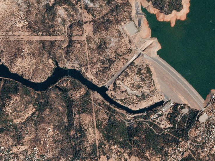
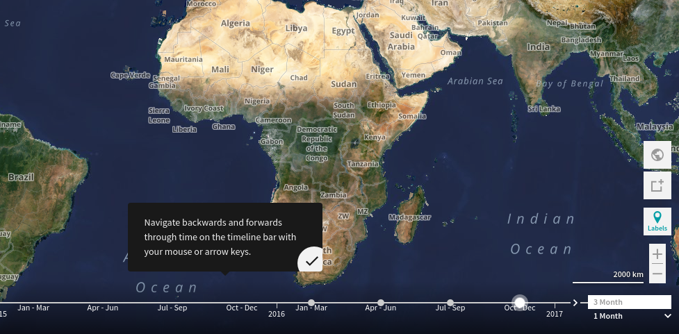
Introducing a new tool called Planet Explorer Beta that allows its users to view how its image captures of Earth from space change over time. It’s available to the public without a login, which means petty much anyone can check out what a particular spot on the planet looked like over a monthly or quarterly period. Captures images of the same spots over time, almost all places undergo some visible change. Planet’s satellite network captures a lot more imagery than has typically been available, and on a more frequent basis — it can collect a new snapshot of every piece of land on Earth daily, via its network of 149 orbital satellites — and it says things change at least mostly almost invariably across the planet.
Planet Explorer
Planet’s new Explorer Beta lets anyone time travel through geospatial images.
Published At