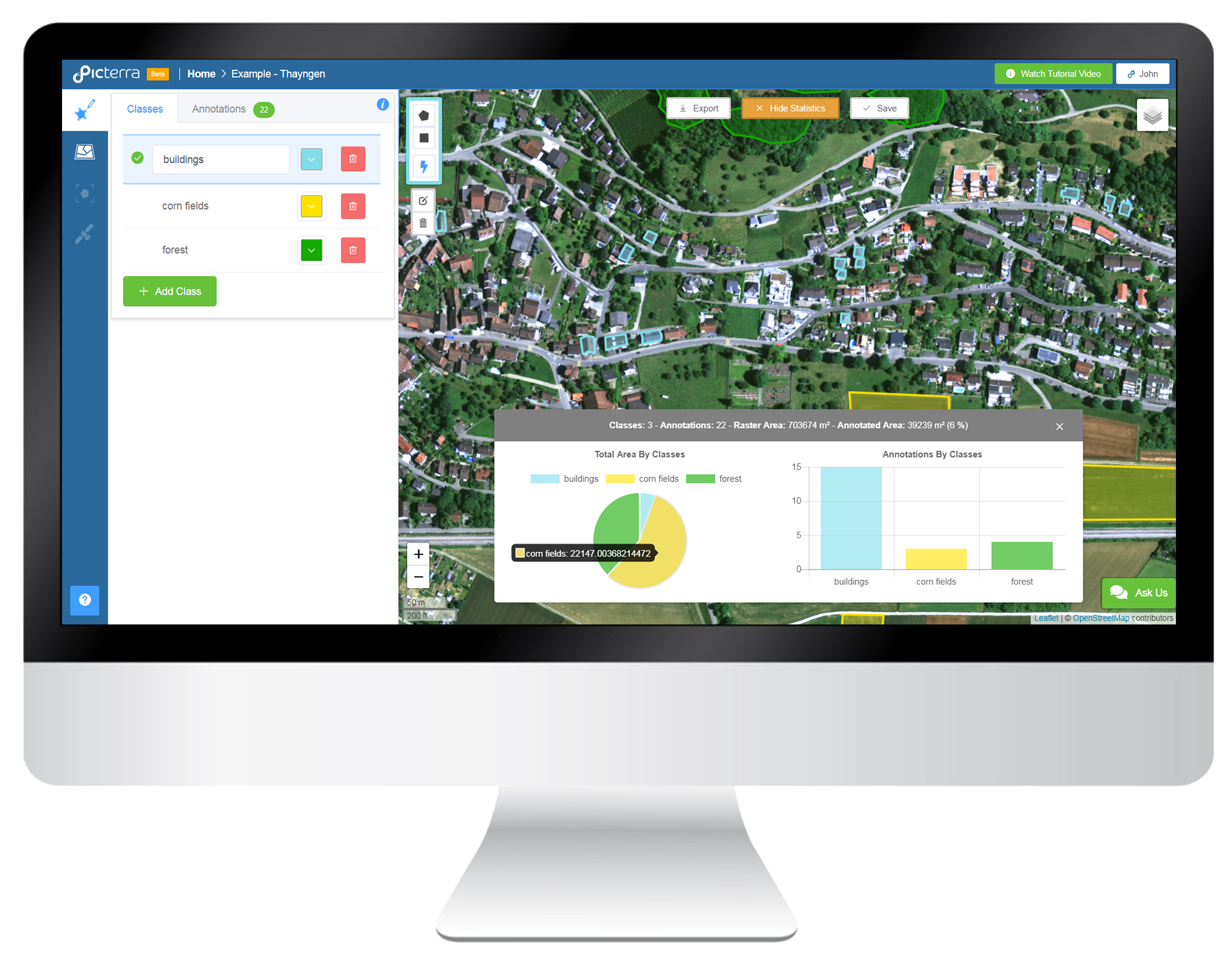
Create more value out of Earth observation data. Build tailor-made & scalable analytics for your customers. Upload your orthomosaic in .tiff format. Get online visualisation of your data with automatic image tiling. Contextualize your project with up-to-date satellite imagery and OpenStreetMap layers. Annotate objects of interest. Draw and categorize your annotations into different classes. Highlight, measure & count objects in your images. Annotate faster by using the Smart Focus tool which detects similar objects for you. Perform a complete classification of the image based on your drawn annotations. Create & share your analytics. Visualize your statistics at a glance. Easily export results in common format (.kml, .geojson) or share them via a link.
