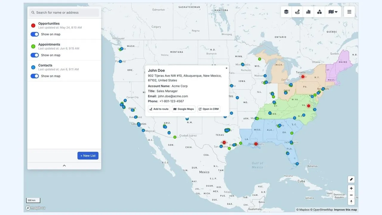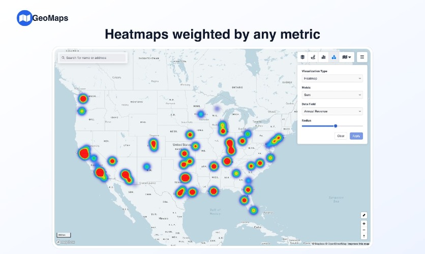
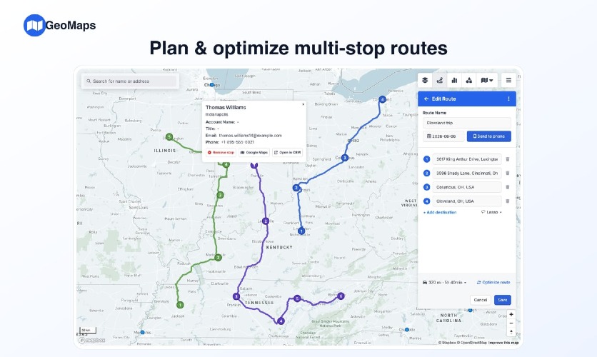
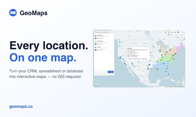
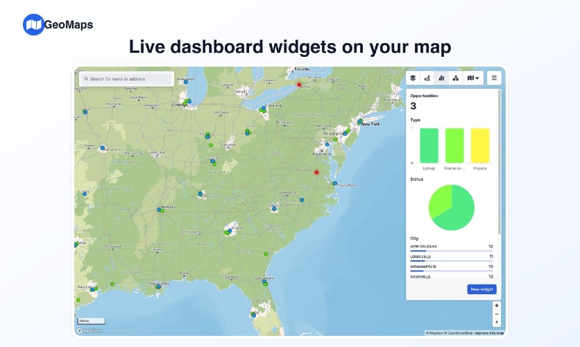
GeoMaps solves the challenge of visualizing large sets of location data, making it easy to plot thousands of customers, leads, and assets on a single interactive map. By simply uploading a spreadsheet or connecting to your CRM, you can generate maps in under 60 seconds without the need for GIS software or technical expertise. Key features include customized markers that allow visualization tailored to your data, advanced filtering options to focus on specific data slices, and the ability to find nearby locations quickly. Unique functionalities like hand-drawn territories, administrative boundaries, and various layers such as drive-time and radius layers give context to your data. Route optimization helps in planning efficient multi-stop routes that can be printed or exported to the field. Notable alternatives like Mapbox and Tableau offer extensive features; however, GeoMaps stands out for its ease of use and seamless integration with popular tools like Google Sheets, Excel, and various CRM systems. GeoMaps offers a generous free tier for up to 1,000 locations. Paid plans may be available for enhanced features or larger datasets, but specifics should be checked on the pricing page. FAQs: 1. Q: Do I need any programming skills to use GeoMaps? A: No, GeoMaps requires no coding skills. It’s designed for users without GIS expertise. 2. Q: Can I integrate my existing CRM with GeoMaps? A: Yes, GeoMaps supports integrations with multiple CRM platforms, ensuring smooth data transfer. 3. Q: What types of maps can I create? A: You can create heatmaps, route maps, and more, allowing for diverse visual representation of your data. 4. Q: How secure is my data? A: GeoMaps takes data security seriously; your data is protected and not shared without your consent. 5. Q: Is there a limit to the number of locations I can plot? A: The free plan supports up to 1,000 locations, while additional locations may require a paid plan.